Many people (myself included) are talking about this picture taken during the Artemis II mission:
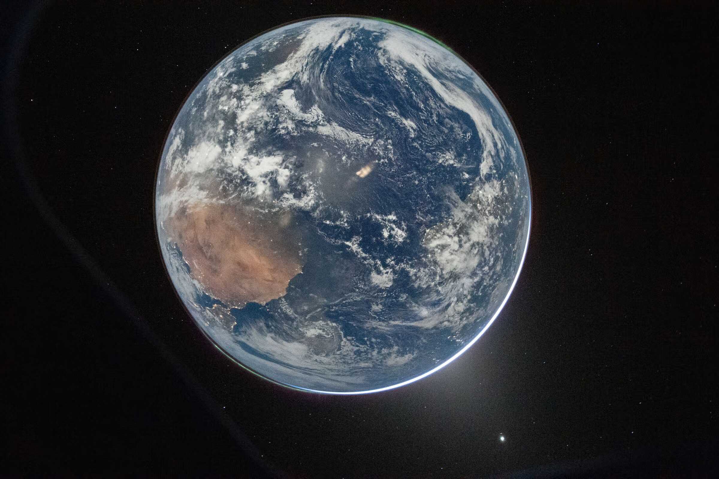
This very beautiful picture depicts night lights (in Africa, Europe, and America), clouds, auroræ (borealis and australis), stars, the edge of the window, and (I’ve just learned about this) the zodiacal light. Is the title “Hello, World” a nod to learning programming?
I found it funny when I heard it being described as “upside-down”. First, in my mind, up and down mean relative to the ground or (in a 2D paper or screen) to my eyes. Yes, that picture is displayed in a screen, but the main object depicted doesn’t typically stand on any ground. As clearly shown in the picture. In my limited experience, up is away from it, while down is towards it.
That matches the Upper Canada and Lower Canada designations. Upper Canada was further away from the centre of Earth (up following the St. Lawrence River) even though it’s more south.
I guess the confusion is due to many people being used to flat maps with north on top. I was used to them until I ended up not locking north to top in OsmAnd. After some initial confusion, I find a few reference points that I’m familiar with, and figure out where I want to zoom in quickly now. Like many map apps, it also rotates to make the direction of travel to point to top, so I don’t have to think too much while driving. I’m glad the instruction I get is “turn left” and not “turn southeast”.
Or maybe I dabble in coordinate systems because I have a background in robotics. We have so many joint coordinate systems we really need to figure out whether the coordinate system matches what we think it is. Like you can’t just give me a number and expect me to understand it, I gotta know what it’s measuring and how it got measured.
Those astronauts will go see the far side of the moon. Well, for them it will be the near side.